
Pend Oreille County
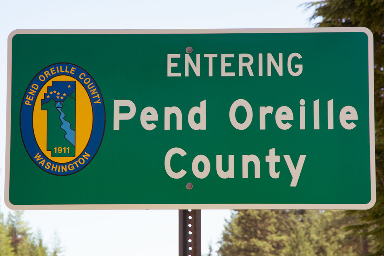
 Located in the northeastern corner of the state, Pend Oreille County is Washington's most recently created county, having come into being on March 1st, 1911, when it was split off from Stevens County which borders it on the west. At the south sits Spokane County; the state of Idaho is to the east; and the Canadian province of British Columbia lies to the north. Its County Seat and only city is Newport, and the four incorporated towns within the county are Cusick, Ione, Metaline and Metaline Falls. The county is named for the Pend Oreille tribe of Native Americans which in turn got their name from the cowrie shell ear rings the tribal members wore. (Pend Oreille is French for "Hangs [from the] Ear.") Long and narrow (roughly 87 miles by 33 miles at its widest point), the county covers 1,425 square miles, of which 25 square miles are water. The 2016 population was estimated to be 13,123, or 9.3 persons per square mile.
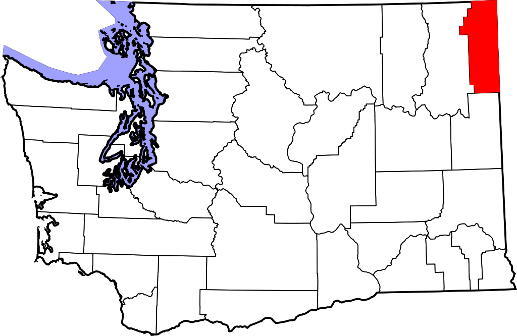 Located in the northeastern corner of the state, Pend Oreille County is Washington's most recently created county, having come into being on March 1st, 1911, when it was split off from Stevens County which borders it on the west. At the south sits Spokane County; the state of Idaho is to the east; and the Canadian province of British Columbia lies to the north. Its County Seat and only city is Newport, and the four incorporated towns within the county are Cusick, Ione, Metaline and Metaline Falls. The county is named for the Pend Oreille tribe of Native Americans which in turn got their name from the cowrie shell ear rings the tribal members wore. (Pend Oreille is French for "Hangs [from the] Ear.") Long and narrow (roughly 87 miles by 33 miles at its widest point), the county covers 1,425 square miles, of which 25 square miles are water. The 2016 population was estimated to be 13,123, or 9.3 persons per square mile.
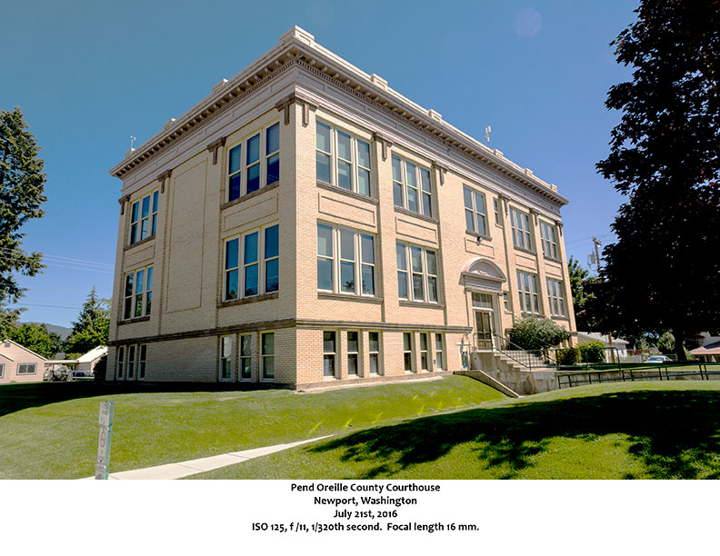
As long as there has been a Pend Oreille County, Newport has been the County Seat. The city’s beginnings, however, predate the county, and, indeed, start in a different state. The original settlement was just to the east of the city’s present location, but that put it across the line in Idaho. Serving as a port for river and overland travel, the town took the name Newport, and when the Great Northern Railroad came through the area in 1892, the town flourished. In 1895, two brothers, Charles and Warren Talmadge, platted the town of Newport, Washington, on forty acres they had acquired. By 1901, some two hundred residents called Newport home, and the US Postmaster General decreed that the Post Office should be on the Washington side of the state line. The community continued to grow on both sides of the line, but it wasn’t until 1947 that the Idaho township was incorporated and named, appropriately enough, Oldtown. As the only city in Pend Oreille County, Newport serves as a commercial hub for the area. The Pend Oreille County Courthouse, located at 625 W. 4th Street, is on the National Register of Historic Places, as is the home and office of Dr. John (and wife Viola) Phillips at 337 Spokane Avenue. The home, built in 1914, is a Craftsman-style bungalow. The 2010 US Census counted 2,126 residents in Newport with another 184 across the line in Oldtown.
Eighteen miles northwest of Newport, following the Pend Oreille River and Washington Highway 20, is the town of Cusick (2010 population 207). Cusick was founded in 1902 by Joseph Cusick and is located on the site of what was once the largest population center for the Pend Oreille Indians. Today it is the headquarters for the Kalispel Indian Reservation and the town bears the name čmq̓ʷoqnú in the native language. A Salish speaking people, the Kalispel or Pend Oreille people are divided into two groups, the Upper and Lower Kalispel. The Upper Kalispel live in Montana and the Lower on the seven square mile reservation adjacent to Cusick.
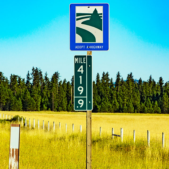
And you thought that 420 was legal in Washington
Taken along Washington Highway 20 between Newport and Cusick
Ione, with a population of 447, lies another 32 miles north of Cusick via Highways 20 and 31. (A few miles south of Ione, at the wide spot called “Tiger,” Highway 20 turns west and continues across northern Washington State to its terminus at US Highway 101 south of Port Townsend. The highway that continues north to the Canadian border is number 31.) Ione’s Facebook page claims the town was “launched” in 1894 and says that it is “The Last Place settled and the place you want to come vacation.” The town hosts the North Pend Oreille County Down River Days, and has for the past sixty years. In 2017, the festival took place the last weekend in July, and promised such events as “Crazy Lady Softball,” “Extreme Barbie Jeep Ride,” an “Alien Swim Extravaganza,” and a “Body Art/Beard and Mustache Contest.” Makes me sorry I missed the fun.
Continuing north on 31, another ten miles will bring you to the twin communities of Metaline (2010 population 173) and Metaline Falls (238). The latter was founded in 1900 and incorporated in 1911 while the former, settled earlier than its cross-river twin, did not officially become a town until 1948. The main industry in the area was originally mining for gold, silver, lead and zinc, and the Morning and Mammoth Mine played their part in the early history of the towns. The website TheDiggings.com says of the mine (closed at the time of writing), “It is a small deposit, not considered to be of world-class significance.” There is an extensive “Thumbnail History” of the two Metalines online at HistoryLink.org. The article traces human habitation back some 10,000 years and notes that two men well known to buffs of northwestern US history both played a role in the area. David Thompson, the man the British sent to beat Lewis and Clark to the coast, came through the area in the early 1800s, and Father DeSmet founded a mission in the area in 1844.
Six of Pend Oreille County’s eight locations on the National Register of Historic Places have Metaline Falls addresses, including the border crossing some fifteen miles north of town, an historic bridge across the Pend Oreille River, the Metaline Falls School at 302 Park, the Pend Oreille Mines and Metals Building at 103 S. Grandview Street, the Washington Hotel at 5th and Washington Street, and the Lewis P. Larsen House at 5th and Pend Oreille Blvd. Larsen, a Danish immigrant, first came to the area in 1905, drawn by the promise of limestone and quartz. With his associates, he founded the Inland Portland Cement Company which became the Lehigh Portland Cement Company, the area’s major employer for much of the twentieth century. Alfred Schaeffer, plant manager from 1947 to 1969, wrote up his reminiscences and those were reprinted online by HistoryLink.org. Schaeffer, in speaking of the Metaline Falls plant in particular, sums up the decline of the American workforce in general when he notes:
I do not remember, or have any record of, the number of employees at the Metaline Falls plant when I arrived in 1947, but records show that 180 people were employed after the expansion of the plant. By 1969, the number of employees had been reduced to approximately 50 with no reduction in cement production. Some of the reduction was brought about by the discontinuation of the power plant operation and flume maintenance, but mainly it was through automation, mechanization, and the installation of newer and more efficient equipment.
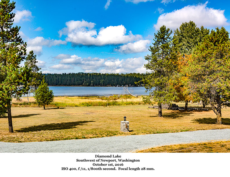
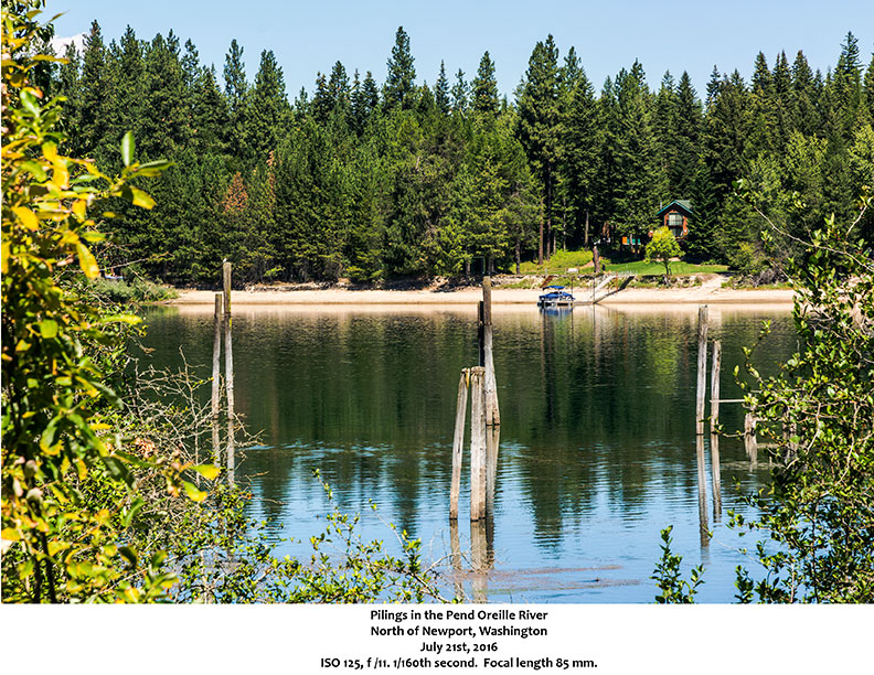
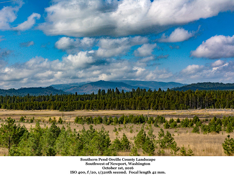
As noted at the beginning, twenty-five square miles of Pend Oreille County is water. Certainly the Pend Oreille River makes up a good bit of that, and comes close to dividing the county in half as it flows north to join with the Columbia. But several lakes provide recreational opportunities as well, including Diamond Lake south of Newport, Sacheen Lake and Davis Lake west of Newport, Calispell Lake and Lake Thomas north of Newport and west of the River, and Bead Lake and Sullivan Lake east of the river, to name just some of the larger bodies of water. Numerous camp grounds can be found throughout the county, and there are plenty of opportunities for exploring the back country in the Kaniksu and Colville National Forests as well as in the Salmo Priest Wilderness. And if you just want a good road trip, take the International Selkirk Loop which follows Washington Highways 20 and 31 as well as roads in Idaho and British Columbia. It’s a 280 mile drive, and you’ll need your passport if you make the whole trip.
![]()
A very belated thank you so much.
I constantly emailed this blog post page to all my associates, for the reason that if like to read it afterward my links will too.
Thank you, Pedro. I appreciate your comments, and sharing my site with your readers.
Bryan