The Snake River in Springtime
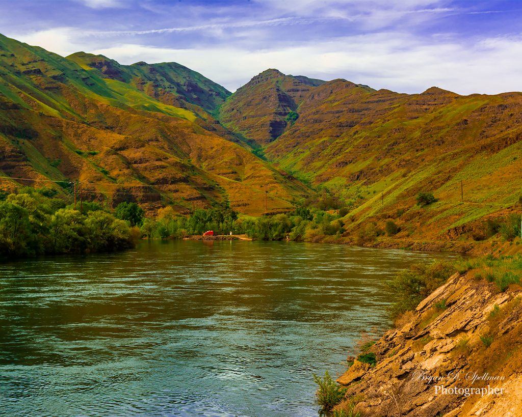
Hell’s Canyon and the Snake River
The state of Idaho lies just to the east of Oregon and Washington State. Most of its western border is a straight line just to the west of 117 degrees west longitude. The central portion, however, follows the Snake River as it flows north between Idaho and Oregon (and Washington at its very northern extent). Much of the way, the river flows through Hell’s Canyon National Recreation Area, a 652,488 acre expanse in all three states. The Recreation Area has access points in all three states, and over 900 miles of hiking trails. 215,000 acres have been designated as wilderness, allowing no motorized transport.
Brownlee Reservoir
Brownlee Dam blocks the river just south of Hell’s Canyon, and the resulting reservoir is, fittingly, Brownlee Reservoir. On an April 2016 drive through southwestern Idaho, I drove up Idaho Highway 71 from the town of Cambridge. I crossed the river just downsteam of the dam. At that point, afraid of losing daylight should I continue further up into the canyon, I turned back and caught this image just south of Brownlee Dam. I hope this photo gives you a feeling for the majesty of a remote area, loved by recreationists, but little known to most of the rest of the world.
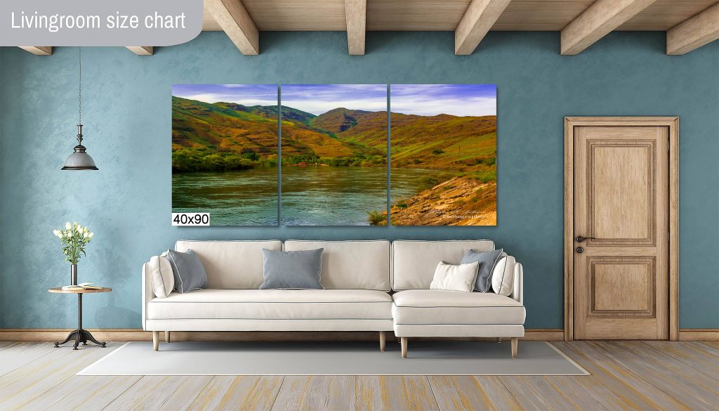
To Buy This Photo as Wall Art:
Currently, I am posting several photographs each week to my Etsy shop, LightIntoArt. These photos are available for purchase in many sizes. The smallest size I offer is 8×10 inch glossy paper prints. The largest are three-panel sets measuring 40×90 inches. That means three panels, each 40x30inches. Believe me, a photo mural in three panels that size makes quite a statement in your home or office.
To see more of my Idaho photography, follow the links here.
![]()