On the Road Again
Introduction
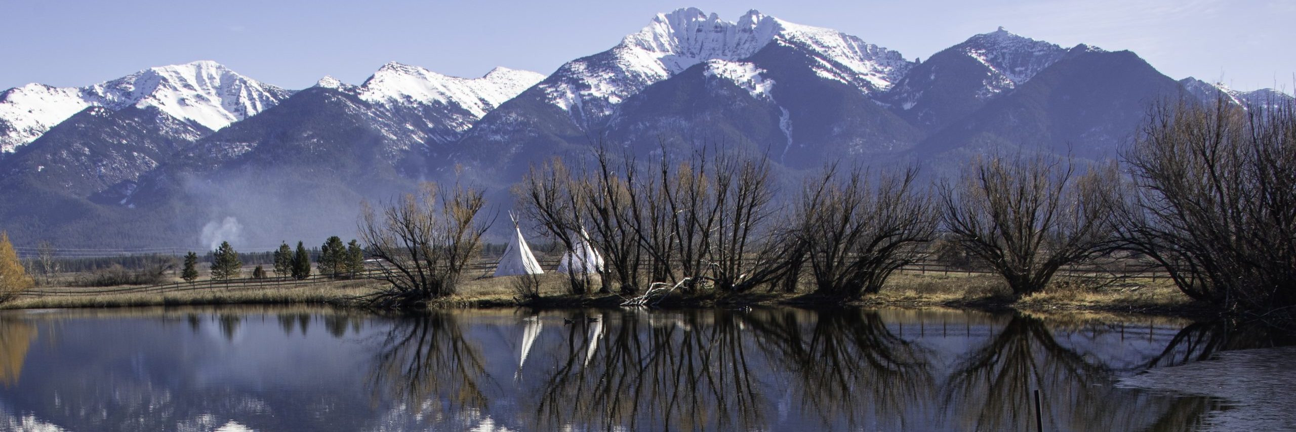
Today’s post is all about being on the road again–day one. It’s been a while since I’ve written anything, and frankly, I miss writing. Kevin and I have taken three trips out of state in the past two months, and I haven’t written up anything about them–other than a few Facebook posts, that is. It’s time to get “back in the saddle again,” as Gene Autry sang (and apparently also Aerosmith), or in the words of the immortal Willie Nelson, “on the road again.” I’m starting with our most recent trip, a four-day, 2,151 mile jaunt to Las Vegas which took us through five states: Montana, Idaho, Utah, Arizona, and Nevada.
If you’ve followed my writing in the past, you know I’m working on a coffee table book showcasing the forty-four counties that make up the state of Idaho. Click here for my general overview of Idaho’s counties. Its northern panhandle is right next door, and I’ve made numerous road trips, camera in hand, through those ten counties (Idaho County and north). Several years ago, I took a road trip down U.S. Highway 95 to get all the counties in the western half of southern Idaho, adding fourteen more to my collection. That left southeastern Idaho, where twenty counties had eluded my camera lens. It was definitely time to get on the road again.
Disclaimer
That next to last statement is not, strictly speaking, true. I have always had a camera in hand, and I have taken numerous photos that have been lost over the years. I have even managed to lose digital photos when my computer crashed and I had no viable backups. This trip offered the opportunity to fill in some blanks, if not complete my photographic survey of the Gem State.
Travel Plans
In the days prior to leaving, I asked Kevin if he was determined to race to Vegas, or could we take a more leisurely route. He assured me that we could take our time–bearing in mind that we would be travelling over Labor Day weekend, and he would be taking one day off work. That meant four days of travel, as I noted above. Southeastern Idaho is the part of that state furthest from my home base, so I planned a route that would take us down the Wyoming border through seven or eight counties I needed to photograph. I put together a notebook for the trip which included maps, county names and seats, and all the places included in the National Register of Historic Places for those eight counties. In the event of last minute changes, I also included notes on the six counties that Interstate 15 crosses.
That last was fortuitous. Normally, when we are traveling, Kevin arises at 4 or 5 a.m. and we are ready to hit the road long before 6. Not so this time. We were late getting out of the house, and Kevin insisted on stopping for breakfast before we ever left Plains. With breakfast in our bellies and the tank full of gas, we finally began our trip at 8. Google maps tells me that the distance between Plains and Monida Pass, where we would enter Idaho, is 310 miles which should take roughly four and a half hours. But that doesn’t figure in stopping for gas in Dillon or for lunch at the Dell Calf-A, both still in Montana.
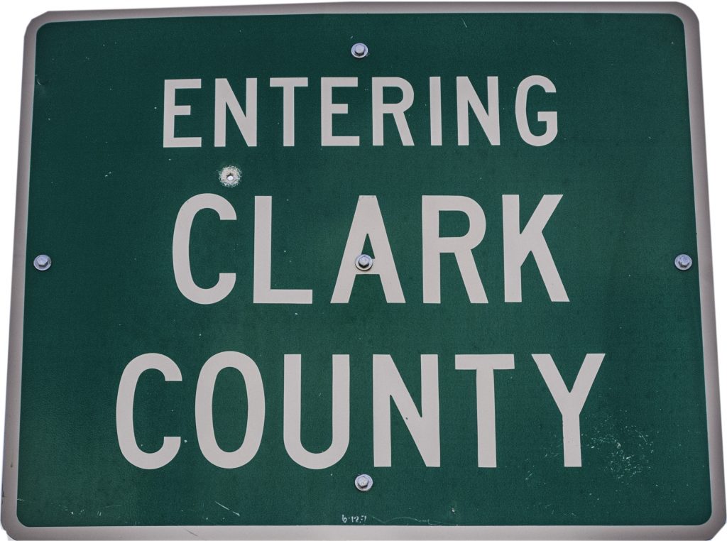
Clark County
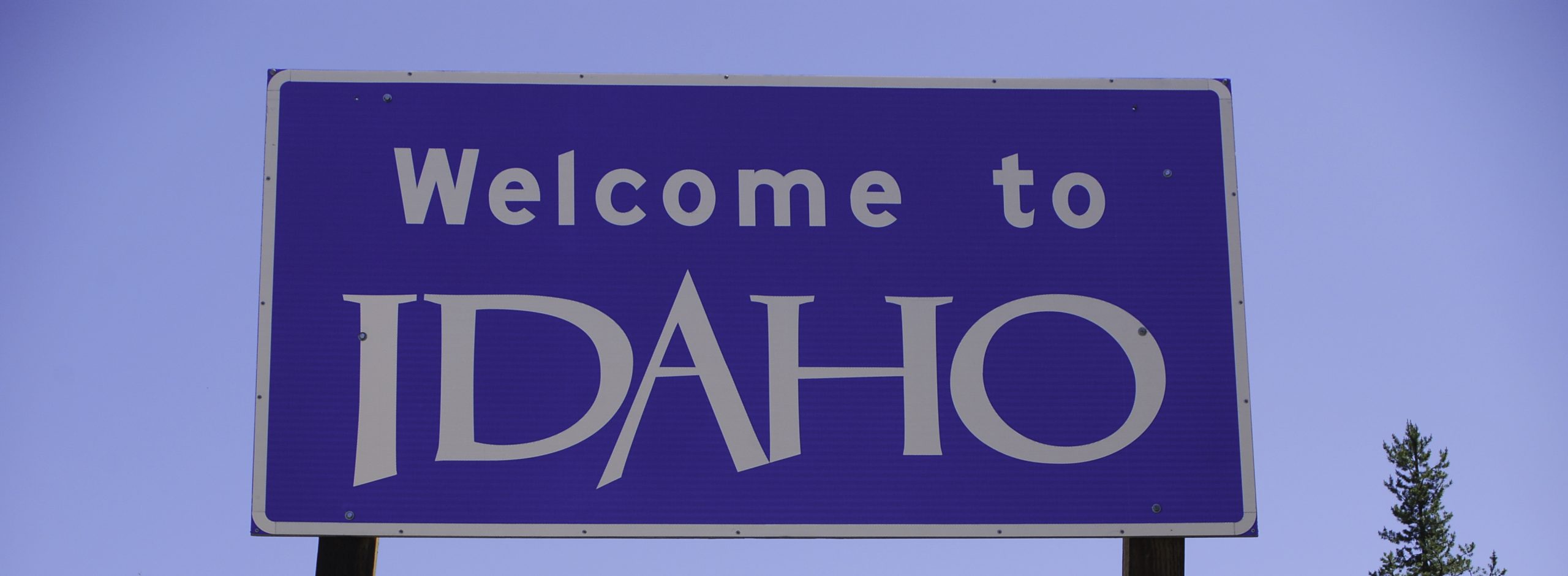
By the time we crossed Monida Pass and entered both Idaho and Clark County, it was 2:30. Time to reconsider our itinerary. While I had no doubt that Kevin would be able to keep driving long into the night, alas, my camera can only take decent photos in daylight. Approaching the end of Summer, our daylight hours are dwindling, and I was afraid we would drive through much of eastern Idaho in the dark. Enter Plan B. Stick to, or at least close to, the Interstate. Our hotel reservation was for Ogden, Utah, and staying near I-15 would allow me to capture six of the twenty counties still lacking photos.
When collecting photos for a county’s “photographic portrait,” I look for five things.
- The County Sign
- The County Courthouse (or Court House)
- A typical landscape
- A farm
- An interesting building (usually a church)
For Clark County, I had already taken a few photographs in the far western end of the county. I could check off “landscape.” The National Register listed only a very few places, but one was an historic home and the other a former church, so check off “interesting building.”
I took a couple of shots from the highway, then we pulled off the interstate at Spencer, a town so small that Wikipedia calls it an “incorporated hamlet.” With a 2020 census count of 32, one wonders how the town pays for its government. Spencer prides itself as “the opal capital of America,” and signs offering opals are scattered around the town. I was there to see a rock of a different type–the “Spencer Rock House” which is on the National Register. A few miles further down the highway and I was able to fill in my checklist by stopping in Dubois, the County Seat. I’ll write up Clark County as a separate post, but just south of Dubois, we crossed a county line.
Jefferson County
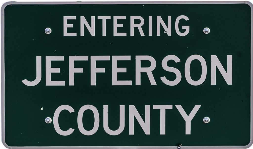
As with Clark County, I had driven through Jefferson County and already had the county sign and an interesting building. This trip would allow me to get the actual court house, and some landscape and farming photos. The interesting building turned out to be the former court house, and in the time since I was there last, the building has been demolished. Glad I got that photo when I did.
Just south of Rigby, the Jefferson County Seat, we crossed another county line, this time into Idaho’s fourth largest county by population, and most populous county in eastern Idaho. I’m not happy about the quality of the photograph. It was one taken on the fly as there was no shoulder where we could get off the road and I could take the photo.
Bonneville County

The Bonneville County Seat is Idaho Falls, a city that is also home to an LDS Temple. I have been to Idaho Falls many times, but mostly in my pre-digital photography days. I know I’ve taken pictures there in the past, but I have not been able to find and digitize them. This trip would mean getting all of my Bonneville County photos at one time. As it turns out, I took twenty-four photos in the County, of which five are different views of the falls that give the town its name. Again, I will be writing up Bonneville County as a separate post, as well as Bingham County, the next county to the south.
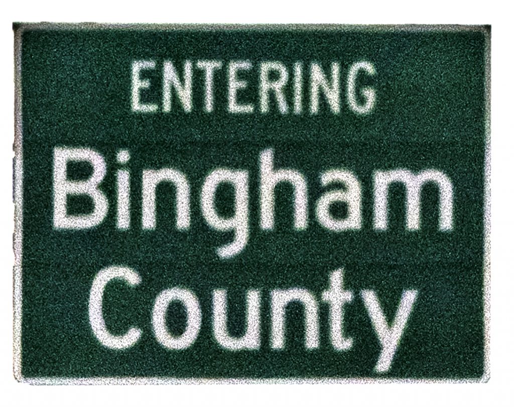
Bingham County
Another lousy “on-the-fly” photo. Have I mentioned how much I hate using photos that are taken at 80 mph? Through the fly-gut streaked windshield of a moving vehicle? Entering Blackfoot, the Bingham County Seat, we noticed that the County Fair was in full swing. The fairgrounds are directly behind the Courthouse, so parking was almost impossible. I jumped out of the truck and Kevin drove around a corner while I took several shots. One even showed a Ferris Wheel directly behind the county jail.
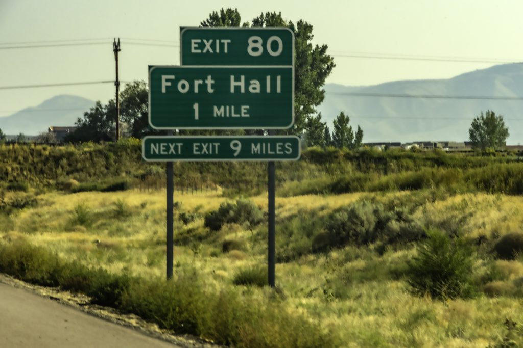
One of the things I have noticed in Idaho is that the courthouses tend to be long, low buildings. This style of architecture makes it almost impossible to photograph in a single frame. Bingham County’s is no exception, but I was able to grab the central entrance. I even got uniformed deputies directing fair traffic. I also got an interesting building in the form of a church that looks more Presbyterian than Mormon. While photographing that building, I struck up a conversation with a Montana couple. The wife, as it turns out, is the granddaughter of Evel Knieval. Small world. Before leaving Bingham County, we pulled into the tribal casino/convenience store/gas station to fill the tank. I got the exit sign for Fort Hall, but missed any county sign for Bannock County. I’ll have to get it next time.
Bannock County
Bannock County always trips me up when typing. In Idaho it’s spelled with an “a” and an “o,” while in Montana the name is spelled with two “a”s. The County Seat is Pocatello, home to another LDS temple and Idaho State University. I’ve been in Pocatello many times. Most of those visits were pre-digital days. Some were late enough in the evening that I couldn’t get good photos. This time I grabbed the Courthouse, the temple, another interesting building, and several landscape shots. Some landscapes were in the southern end of the County, just before we crossed another line-our last in Idaho.
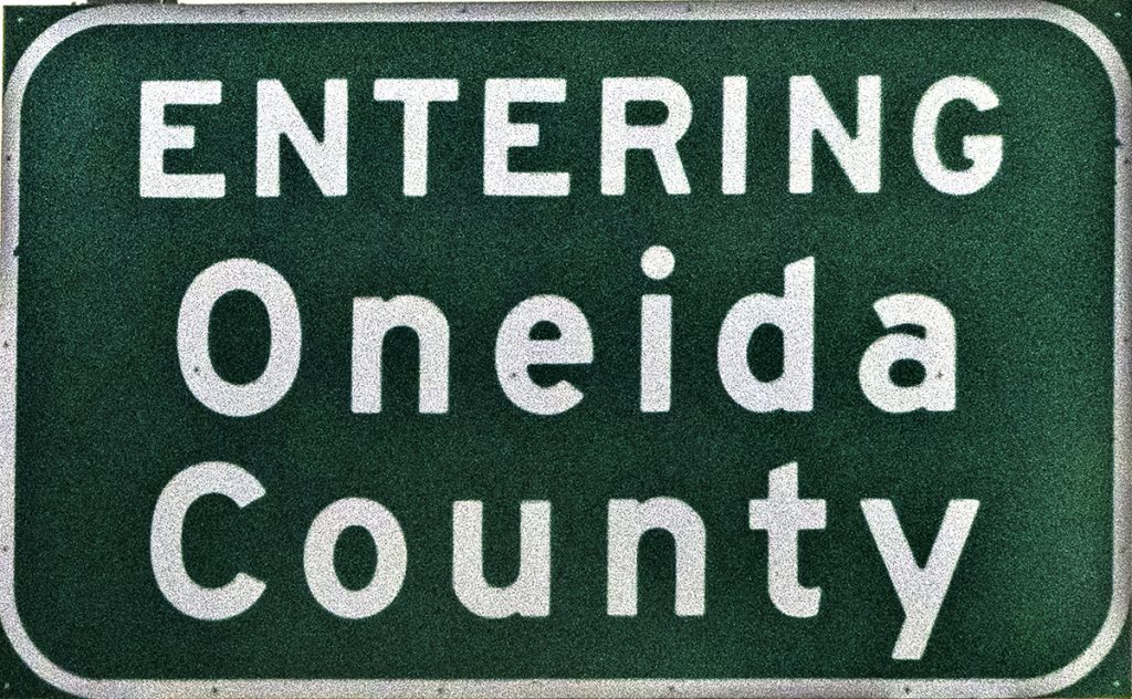
With the creation of Idaho Territory in 1863, Oneida County covered all of eastern Idaho. Over time, the original Oneida gave up land to form thirteen of Idaho’s counties as well as a portion of modern-day Wyoming. The County Seat is Malad, named for the Malad River. The river in turn was named by French-Canadian trappers who got sick (malade in French) after drinking its water. Many early settlers came from Oneida in New York state and brought their home’s name with them. I’ve been to Malad before, but this trip showed me a side of the city I had missed. I look forward to returning when I can spend some more time visiting the restaurants, parks, and that special coffee shop in a vintage travel trailer.
Leaving Malad, it didn’t take much time for us to cross into Utah, and pull off to spend the night in Ogden. Watch for our day 2 adventures in the next installment of being on the road again.
![]()