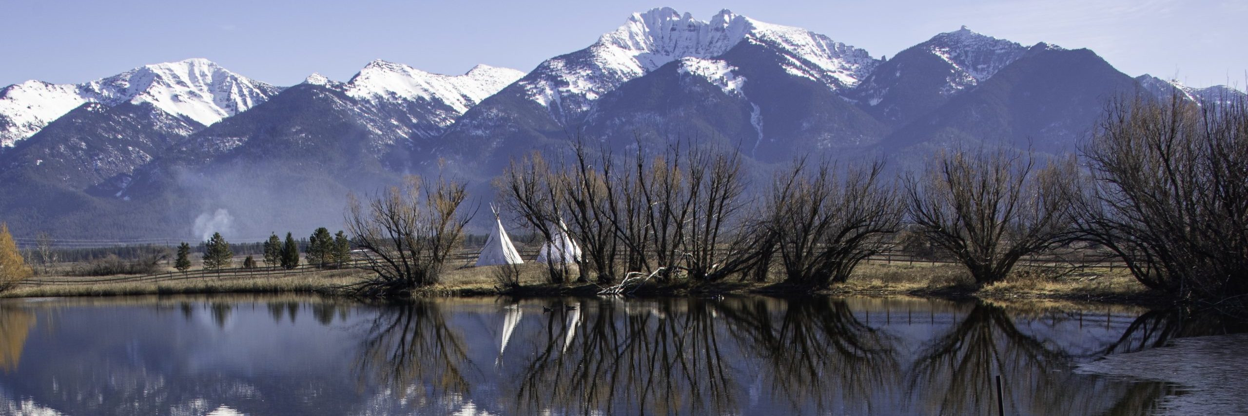

This section focuses on Evergreen–Washington’s Thirty-Nine Counties. A few years back, I visited every one of Montana’s fifty-six counties and photographed them. Now, I am working my way around Washington. Accordingly, I will treat each county in the order it was created. Thus, I start with Clark County. Clark was the first county the Oregon Territorial Legislature created for that part of Oregon Territory north of the Columbia River.
When President Jefferson purchased Louisiana from France, he increased the size of the country tremendously. By so doing, he also set in motion a way of thought that led to the doctrine of Manifest Destiny. Louisiana ended at the Rocky Mountains, but the land west of that barrier was surely ripe for the picking. Northwestern North America became known as Oregon Country–a land whose ownership was disputed between the U.S. and Great Britain. An unofficial truce (and the Columbia River) divided Oregon, with the U.S. settling south of the River and Great Britain establishing outposts to the north.
Early Settlement in Oregon Country
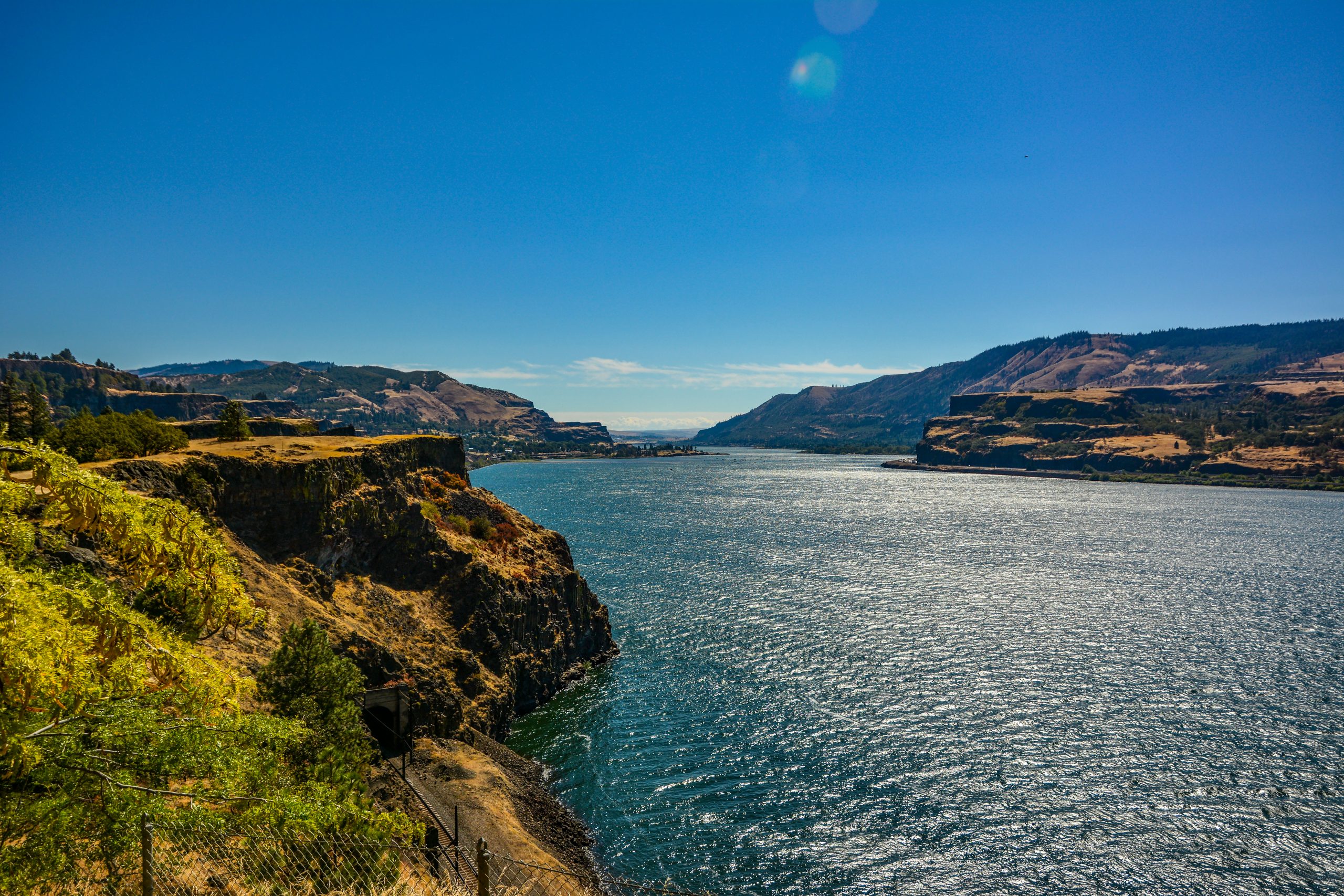
As more and more settlers moved west on the Oregon Trail, people inevitably began crossing the River. This led to disputes not only with the native people living there, but also with Great Britain and its Hudson Bay Company. On June 15th, 1846, the Treaty of Oregon established the 49th parallel as the international boundary, and British interests moved north of that line. Even with the loss of what is now British Columbia, the new Oregon Territory was too large to govern easily. Meeting in two “conventions” along the Cowlitz and Columbia Rivers, delegates petitioned for Congress to create a new Columbia territory which would lie between the River and the 49th parallel. After the second convention (November 25, 1852), now known as the Monticello Convention, Congress acted. It accepted the proposal for dividing Oregon, but insisted that the new territory should be known as Washington.
County Formation in Washington
The Oregon Provisional Legislature, prior to 1848, and the Oregon Territorial Legislature (1848 to 1853) created eight counties north of the Columbia. With the establishment of the new Washington Territory, eight more counties came into being in March and April of 1854. Since then, Washington added twenty-three counties, five after 1889 when Washington became the 42nd state. Pend Oreille County, the state’s north-eastern corner, came into existence in 1915, the last of Washington’s thirty-nine counties.
The thirty-nine counties are listed below. As I write up each county, the name will become a link to the appropriate blog post. By doing this, it is my goal to create a coffee table book honoring Evergreen–Washington’s Thirty-Nine Counties.
The Thirty-Nine Counties
![]()