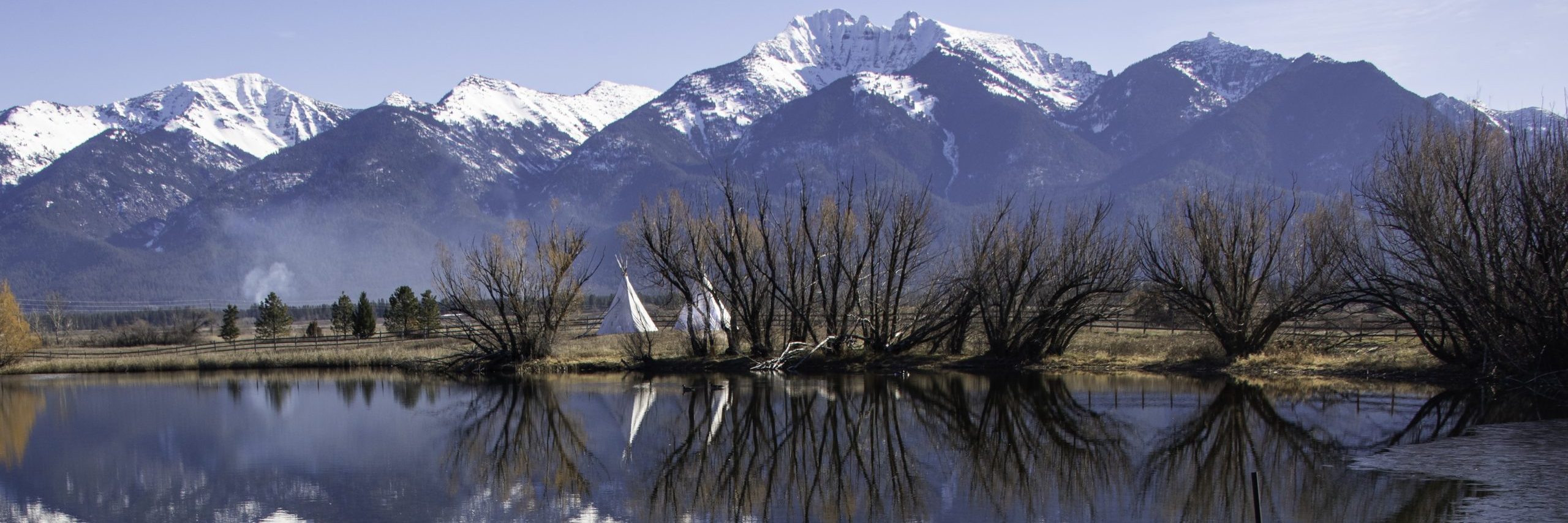
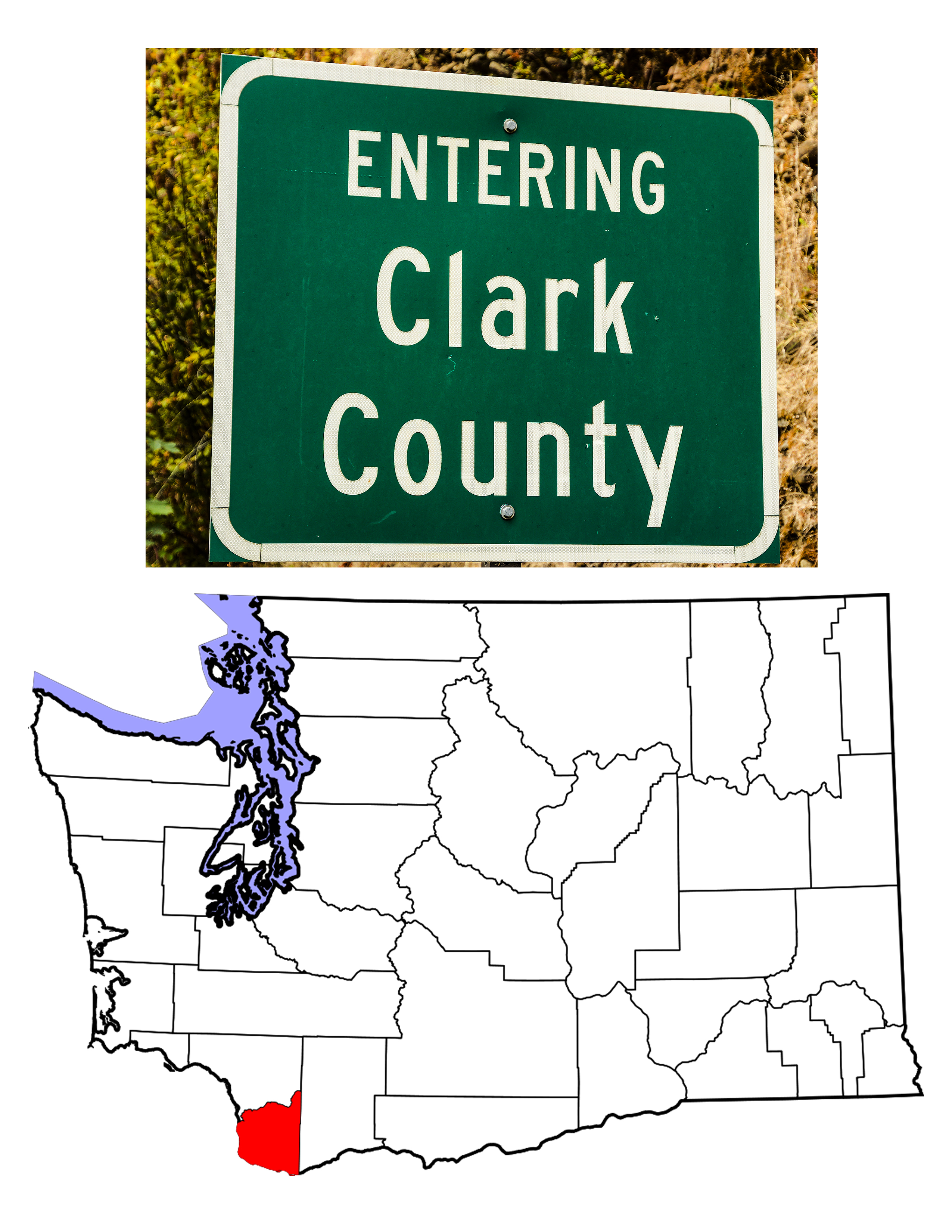
Clark County
Depending on how you define “county creation,” Clark County, Washington’s first, was created on June 27th, 1844, or perhaps August 20th, 1845, or even September 3rd, 1849. In 1844, the Provisional Government of Oregon decreed that henceforth, all land north of the Columbia River would be called the District of Vancouver. At that time, Oregon Country was disputed land, claimed by both Great Britain and the United States, and extended from the Mexican state of Alta California at the 42nd parallel to what is now northern British Columbia (54 degrees 40 minutes North latitude). East to West, Oregon Country reached from the Rocky Mountains to the Pacific Ocean. The newly created Vancouver District thus extended all the way from the Columbia River to Russian Alaska. The Provisional Government of Oregon was “provisional” in that it understood that the United States did not have any official say in matters governmental and it was set up to last only until the US did recognize the territory. In 1845, seeking to bring their region into conformity with U.S. norms, the Provisional Government renamed the District of Vancouver to Vancouver County, with the same extent. The county boundaries changed almost immediately when all land west of the Cowlitz River was taken to form Lewis County. In 1846, the U.S. and Great Britain established a national border at the 49th parallel, and on September 3rd, 1849, Oregon Territory, now definitely part of the U.S., renamed Vancouver County in honor of Capt. William Clark of the Corps of Discovery. Over the years, more land was taken to form other counties, so that today, what was originally the largest county in Washington is one of the smallest in extent (35th of 39), but fifth most populous according to the 2010 U.S. Census.
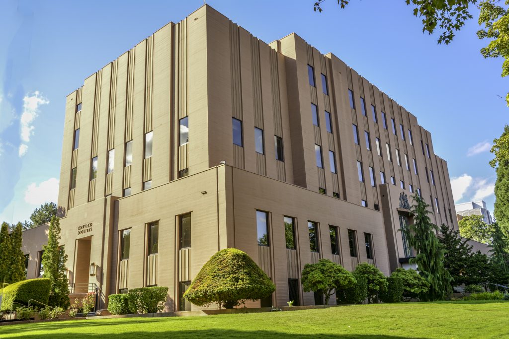
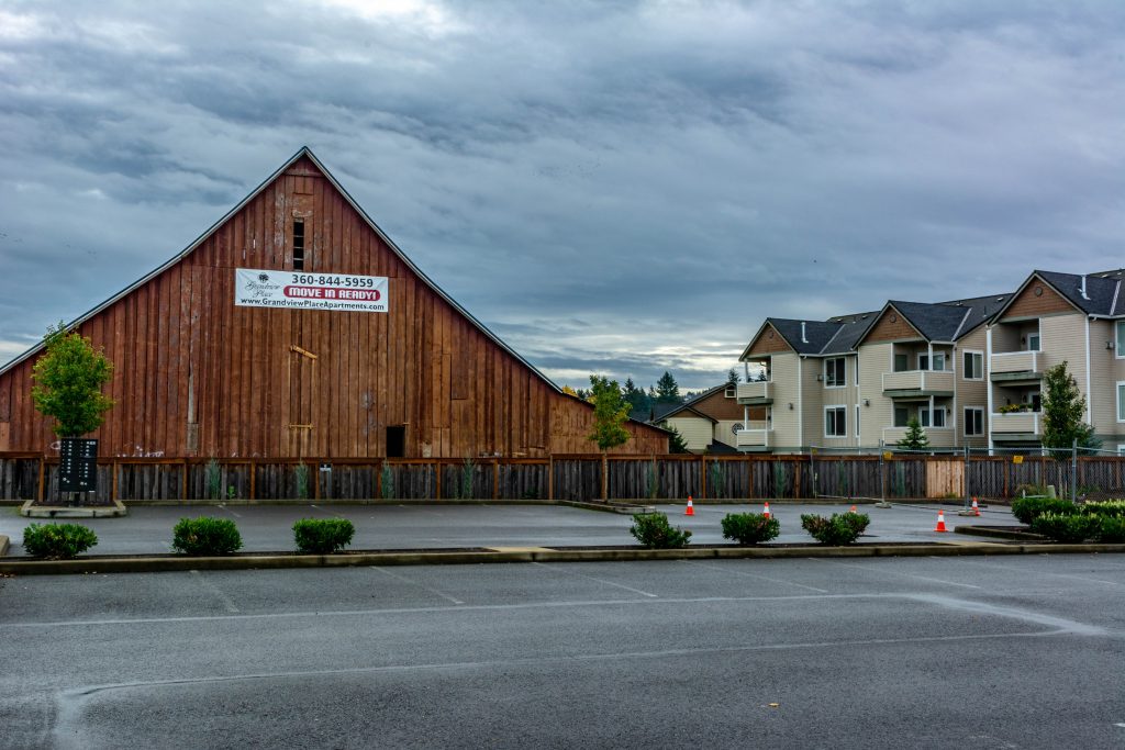
1200 Franklin Street, Vancouver, Washington
The Oregon Donation Land Act of 1850 was a federal statute that recognized existing 640 acre “homesteads” in Oregon Territory and authorized new tracts of up to 320 acres for white and “mixed-blood Indians” (but not blacks or other ethnic groups). This brought new settlers to Clark County and started the growth of agriculture in the area. Over time, communities grew up to serve the farmers and by the 1890 U.S. Census, the first after the admission of Washington State in 1889, Clark County showed 11,000 residents out of a total 18,000 for the entire state. The Klondike Gold Rush in the next decade changed matters drastically, as Seattle and the Puget Sound area became the main “jumping off place” for those seeking wealth in the North. The 1900 U.S. Census counted 13,419 residents in Clark County, but over 500,000 in the state. By contrast, the 2010 U.S. Census tracked 425,363 people living in the County.
Histories written by European Americans tend to see things in terms of what white men did and accomplished, but the fact remains that when Lewis and Clark camped on Diamond Island on November 3rd, 1805, there were already people who had been living along the Columbia for hundreds, if not thousands of years. The Chinook, the Cowlitz, the Klickitat, and other tribes lived all along the Columbia River and in the uplands both north and south of that waterway. After spending the Winter on the bleak Pacific Coast, the Corps of Discovery turned back eastward, and spent a week hunting and drying meat at what is now Washougal, a Clark County city east of Vancouver. On a side note, apparently Lewis and Clark were much impressed with the Chinook canoes and attempted to buy one. When the native locals refused to sell, Lewis and Clark simply stole a canoe. This matter was finally rectified at the Corps of Discovery Bicentennial when descendants of Capt. Clark presented the Chinook with a new canoe, supposedly the largest canoe now owned by the tribe.
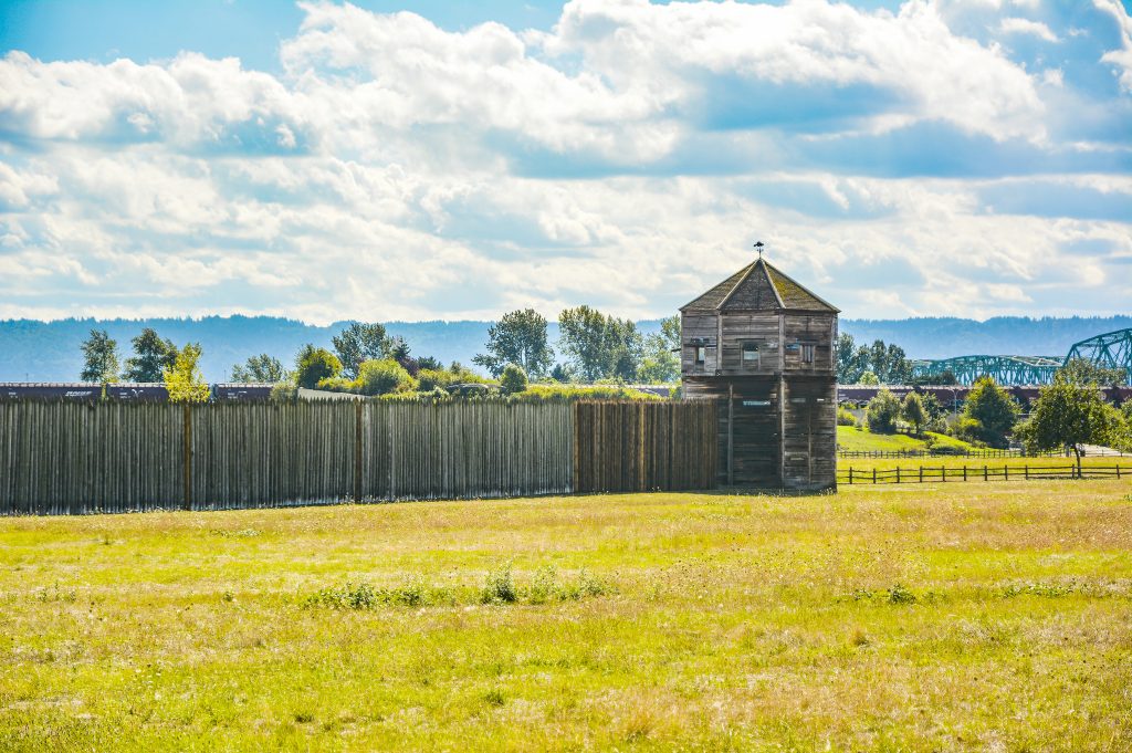
showing the Interstate Bridge on the right.
In 1825, the Hudson’s Bay Company (HBC) established Fort Vancouver as a trading post interested in collecting furs from the native people and sending them off to Great Britain and the world. In this, HBC was continuing what the native people of the area had been doing for generations. HBC planted the first farms and orchards and began the region’s timber industry. As the Oregon Trail brought more and more settlers west, HBC, and by extension Great Britain, looked at the Columbia River as a natural border between US occupied Oregon and Great Britain’s land in the Northwest. Any settlers who crossed the river were given help by HBC Chief Factor John McLoughlin, but this was counter to HBC policy, and by 1846, McLoughlin had resigned. He was replaced by Peter Skene Ogden who was determined to keep at least his corner of the British Empire, and under Ogden’s command the soldiers stationed at the Fort repeatedly attempted to remove the one family who had built their home directly west of the Fort’s stockade, Amos and Esther Short and their eight children. The Shorts, Esther in particular, proved stronger than Ogden, and in truth his time was short. On June 15th, 1846, the signing of the Oregon Treaty divided British and US Oregon not at the Columbia, but at the 49th Parallel, several hundred miles north. HBC was allowed to keep their trading post, but by 1849, the US Army established what would become Vancouver Barracks to protect US settlement of the region. HBC held on for over a decade, but finally closed the Fort in 1860, moving their operations north of the border.
One American McLoughlin refused to help was Benjamin Bonneville who came west under the sponsorship of John Jacob Astor. In an ironic twist, after the British moved north, Bonneville became the commander of Vancouver Barracks, one of a long line of distinguished men to hold that position. Bonneville’s predecessor was William Wing Loring, a colonel in the U.S. Army who lost an arm in the Mexican War, came to Vancouver Barracks as its first commander, joined the Confederate Army where he was commissioned Brigadier General and clashed with both Robert E. Lee and Stonewall Jackson. After the war he became a general and advisor to the Khedive’s Army in Egypt. A fascinating guy, I’d say. Other commanders at Vancouver Barracks include Ulysses S. Grant, Phil Sheridan, and George Marshall, among others. Today the Barracks as well as a reconstructed version of the HBC Fort Vancouver are part of the National Park Service’s Fort Vancouver National Historic Site.
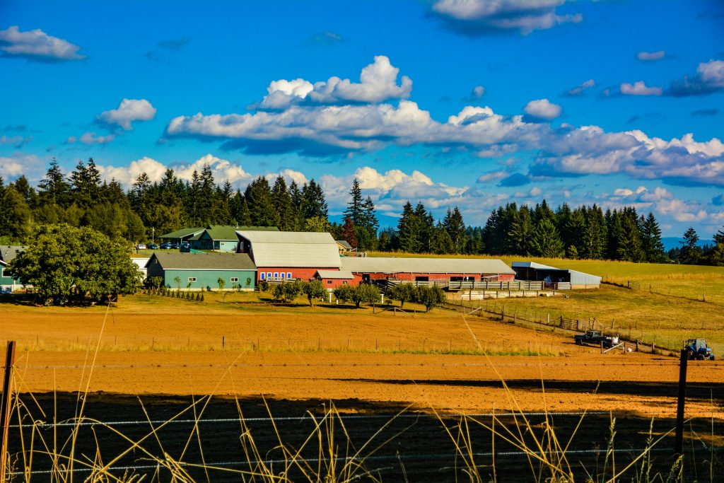
Once settlers arrived, agriculture was the first major occupation in Clark County. Washington’s first orchards were planted near Fort Vancouver, and even today there are producing orchards near the heart of the city. According to city-data.com, today 278 acres of Clark County are set aside as orchards, and the average farm size in the County is 44 acres. As with the rest of the U.S., two world wars increased manufacturing across the County. During World War I, Vancouver had shipyards, lumber mills, and aluminum processing. Alcoa (The Aluminum Company of America) processed aluminum sheeting for aircraft. Alcoa’s website indicates that the company has been in business in Vancouver since 1888 and is still an important player in the County’s economy. During World War II, industrialist Henry J. Kaiser built a shipyard on the Columbia River, a plant he converted to automobile construction after the war. Bonneville Power Administration dams on the Columbia brought reasonably inexpensive electric power to the region, which also played into increased industrialization. Today, the ten largest employers in the County include three health organizations, three public school districts, Bonneville Power, Clark County itself, and two private businesses: one retail (not Walmart) and one manufacturer. In truth, however, Clark County is largely a bedroom community for its much larger neighbor, Portland, Oregon.

Two fun facts about the County: 1) while the Oregon Territorial Legislature named Clark County for Capt. William Clark, once Washington Territory was created in 1853, all official paperwork spelled the name with an final “e,” Clarke County. It wasn’t until 1925 that the spelling error was corrected. Fun fact 2) The northern border of the County is the Lewis River, which was not named for Capt. Meriwether Lewis, but rather for an early settler in the region. Lewis County, on the other hand, was named for the great explorer.
Thus was born one of Washington’s most important cities. Vancouver, like its Canadian cousin to the north, was named for British sea captain George Vancouver, one of the early explorers of the northwest Pacific coast. In the early 1850s, Vancouver, then known as Columbia City, was chosen to be the County Seat of Clark County. In 1855, Columbia City was renamed Vancouver and under that name, the city was incorporated in 1857. Through natural growth and annexation, the city has grown to be the fourth largest in Washington. Indeed, had officials not balked at annexing the area just north of the city limits, Vancouver would now be larger than either Tacoma or Spokane, currently Washington’s third and second largest cities.
Other cities in Clark County include Battle Ground, where no battle was ever fought, Camas, La Center one of the original centers of commerce in the county, Ridgefield, and Washougal. There are numerous named communities, “Census Designated Places,” spread around the County, including Amboy and Yacolt, and the city of Woodland spans the county line and lies in both Clark and neighboring Cowlitz Counties.
![]()
2 Comments
Comments are closed.